Maps of California Home > California Map Collection > Inglewood Map
Inner City Map of Inglewood
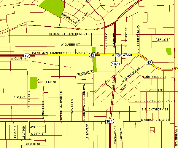
Above is a classic diagram exhibiting the geography of this neck of the woods with a classic assortment of details.
You may use the map image and work with it for many purposes. Giving credit to this source is always appreciated. Thank you.
In case you are hoping for assistance locating a map, a specific map, or are hoping for a good individualized preparation, simply contact YellowMaps.
Buy good made to your specs maps from us. A tailor-made product produced by us provide a sizable combination of map components, such as: roads, scale bar, UTM coordinates, beaches, military area, towns, cliffs, or provinces, etc. Map types range from general reference to raised-relief, static to dynamic, county level to public use microdata areas.
Good maps are meticulous, complete, and not old. Expert map-making by YellowMaps.
To order paper maps, such as navigational charts, educational maps, or maps showing elevation, I suggest you browse our online map store It has over 100,000 products.
Whatever map you need, just contact us - we usually respond right away, or within a few hours.
Back to California map collection