Maps of California Home > California Map Collection > National City Map
Inner City Map of National City
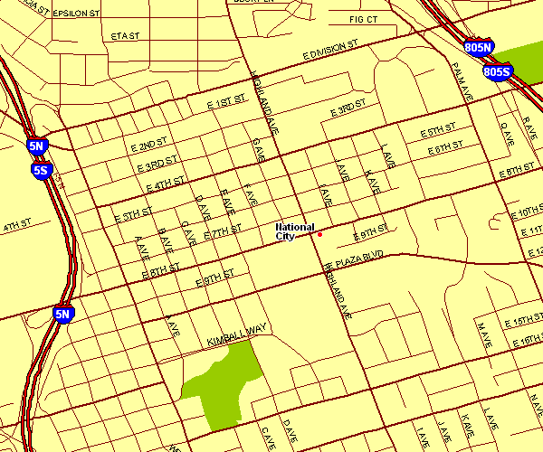
The map above is a simple diagram showcasing the geography of this area of interest with a basic variety of features.
You may use this map and make use of it for a variety of purposes. Giving credit to this webpage is considerate and well thought of.
On the assumption that you desire assistance getting a map, a distinct kind of map, or desire a high quality custom production, quickly email YellowMaps.
Procure nice individualized maps from us. Custom maps made by YellowMaps encompass a wonderful array of features, such as: trails, map projection, coordinate grid, campsites, islands, territories, district municipalities, or plains, etc. Map types range from human geography to tourist, static to dynamic, state or province to metropolitan statistical areas.
High Quality maps are detailed, current, and not obsolete. First-Rate cartography by YellowMaps.
To procure hardcopy maps, for example road atlases, educational maps, or hiking maps, do not hesitate to pay a visit to our map store It contains thousands and thousands map items.
Perhaps you can find the map you are looking for already made: just use the above search bar to search our map store.
Back to California map collection