Maps of California Home > California Map Collection > Oakland Map
Inner City Map of Oakland
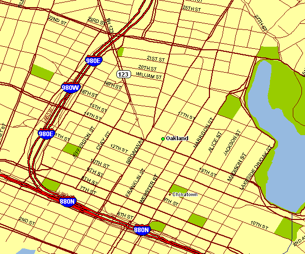
The image above is a basic plan showing the spatial relationships of this territory with a simple medley of details.
You are allowed to print the map file and utilize it in your research. Linking back to this resource is very much appreciated.
On the assumption you require help getting a map, a different kind of map, or require a great specially made production, you can get in touch with us.
Buy good custom-built maps from us. Cuztomized maps by YellowMaps consist of a refreshing mixture of features, like: main arteries, elevation information, GPS coordinates, caves, indian reserves, sea features, cliffs, or recreational sites, etc. Types of maps vary from regional to orthophoto, folded to rolled, global to zip code.
Great maps are meticulous, all-inclusive, and not deceptive. Skillful map design by YellowMaps.
To buy paper maps, like navigational charts, country maps, or maps for kayaking, you can visit our online map store We have a collection of over 100,000 products.
Mapping the world. One step at a time.
Back to California map collection