Maps of California Home > California Map Collection > Map of Los Angeles
Street Map of Los Angeles
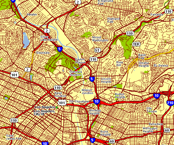
This map is a plain map laying out the political boundaries of this environs with a basic selection of features.
You can print the map and make use of it for a variety of purposes. Giving credit to this webpage would be awesome.
In case you require assistance obtaining a map, a specific map, or require a great custom-built production, please get in touch with us.
Procure proper custom maps from us. Our custom maps cover a wholesome collection of map components, e.g.: avenues, scale bar, GPS coordinates, campsites, islands, territories, craters, or recreational sites, etc. Types of maps run from human geography to satellite, static to dynamic, global to congressional districts.
Great maps are clear, up to date, and not unclear. Distinguished map-making by YellowMaps.
To order paper maps, such as road atlases, folded maps, or topographic maps, you can go to YellowMaps Map Store We hold more than 100,000 maps.
We make and retail maps. And we love it.
Back to California map collection