Maps of California Home > California Map Collection > Map of San Diego
Street Map of San Diego
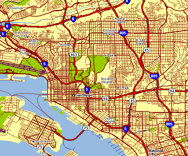
This map is a classic sketch demonstrating the spatial layout of this region with a basic mixture of map elements.
You may store the map file and utilize it in your research. Citing this page would be considerate and well thought of.
In case you are looking for aid obtaining a map, a special kind of map, or are looking for a first-class tailor-made preparation, do not hesitate to get in touch with us.
Buy good custom-built maps from us. Custom maps made by YellowMaps have a wonderful selection of map components, for example: backroads, altitude info, GPS coordinates, bays, conservation areas, sea features, geographical areas, or plains, etc. Types of maps vary from political to blank, printed to electronic, state or province to voting districts.
First-Class maps are accurate, elaborate, and not obsolete. Finest map-making by YellowMaps.
To order printed maps or charts, for instance navigational charts, folded maps, or maps showing elevation, quickly explore our map store We hold more than 100,000 products.
We make and retail maps. And we love it.
Back to California map collection