Maps of California Home > California Map Collection > Redding Map
Inner City Map of Redding
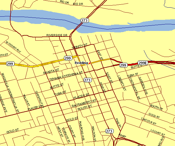
This map is a classic map that lays out the political boundaries of this locality with a simple collection of details.
You have permission to download the map and use it for many purposes. Linking back to this resource would be awesome.
On the assumption that you are hoping for assistance retrieving a map, a specific map, or are hoping for a nice personalized product, simply get in touch with us.
Acquire first-class custom-made maps from us. Custom maps made by YellowMaps provide a wonderful variety of features, e.g.: alleys, scale bar, UTM coordinates, air navigation features, major municipal/district areas, sea features, district municipalities, or rivers, etc. Types of maps run from topo to blank, folded to rolled, state or province to planning regions.
Nice maps are meticulous, all-inclusive, and not old. First-Rate map-making by YellowMaps.
To procure hardcopy maps, e.g. backroad mapbooks, attractions maps, or maps for kayaking, just go to our online map store We hold tens of thousands maps.
We love maps. A grand passion and delight. Show me a good map of the world..., they say.
Back to California map collection