Maps of California Home > California Map Collection > San Francisco Map
Printable Map of San Francisco
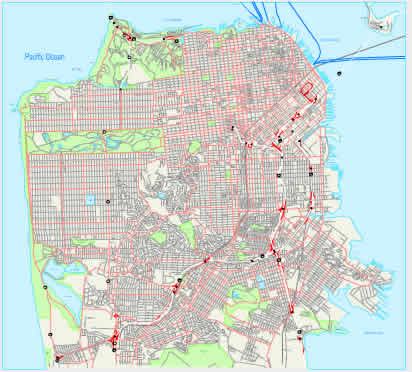
This map image is a plain design that displays the spatial relationships of this area with a simple collection of map components.
You may print this file and work with it for a variety of purposes. Giving credit to this source is always appreciated. Thank you.
In case you want support getting a map, a different kind of map, or want a great tailor-made map, please email us.
Order tip-top made to your specs maps from us. Custom maps made by YellowMaps encompass a sizable medley of map components, for example: backroads, legend, coordinate grid, bays, major agglomeration areas, towns, hydraulic construction, or provinces, etc. Map types range from historical to relief, printed to electronic, world to urban areas.
Great maps are meticulous, current, and not misleading. Detail-Oriented map-making by YellowMaps.
To buy physical maps, such as wall maps, folded maps, or maps for kayaking, please pay a visit to our map shop You can find over 100,000 map items.
Looking for historical maps, or large-format map prints? Ask us.
Back to California map collection